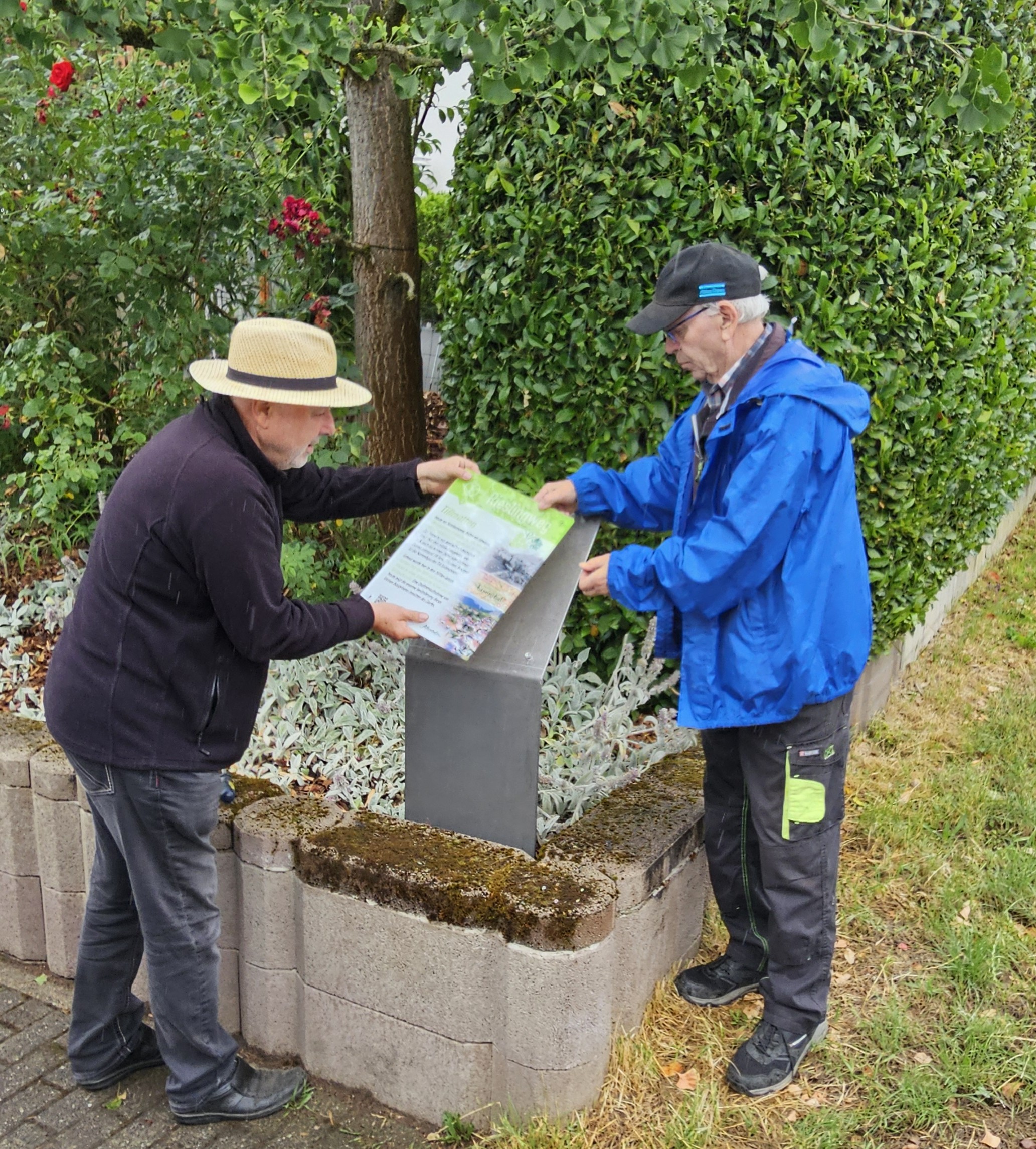
The new Riesling Trail brings to life the history of Eisental’s wine and village. Along the 6 km-long walking trail, 26 information boards feature historical photographs and short texts at key points of interest. The old Riesling Trail, dating from the 1980s, has been slightly altered and now runs right through the Müllenbach district, so as to include the Alte Vogtei, the Wendelinus Chapel, the general store ‘s’Kremersbuggl’ and Trappsgasse. The Riesling Trail has two starting points: one at the Eisentäler Trottenplatz and the other right by the Affental winegrowers, directly in front of the wine shop. As it is a circular route, however, you can join it at any point.
Information boards along the trail explain who invented Riesling and where the Betschgräbler grape variety is grown. There are brief explanations of the old field names such as Haul, Gräbich and Steinloch. You’ll learn why the Eisental church bells ended up in the ‘bell cemetery’ and what the legend of the Kreutzbuckel is all about.
Viticulture – particularly Riesling – shapes the cultural identity of Eisental and the region. The local history society aims to showcase this through text and images, as well as through videos. QR codes on the information boards allow visitors to access additional information, including extracts from the Eisental films. Old photographs and aerial views show how the landscape and the village have changed. In this way, local history comes to life and can be explored on foot. With this new concept – which has already been successfully implemented on the Red Wine Trail – the Eisental Local History Society hopes to attract more wine tourists and day trippers, as well as families, school groups and other groups wishing to experience the region’s culture. Residents of Eisental can also rediscover their home town on the Riesling Trail.
Here on the website, you will find all the information in three languages: German, French and English. There are also additional photos and texts relating to the 26 information points.